Geographical objects

| Main page |
|
Index |
| Bug list |
| Documentation |
| Doc errors |
| Examples |
| 2D Gallery |
| 3D Gallery |
|
Packages
|
|
References
|
|
CTAN Search CTAN: Germany USA |
|
Statistics |
|
Extended translation of the the 5th edition |
|
the 7th edition, total of 960 colored pages |
|

2nd edition, 212 pages, includes 32 color pages |
|
 |
|
 |
|
 |
|
 |
|
 |
|
|
|
|
|
 |
|
 |
ps2pdf
Converting a PostScript output to PDF with the script ps2pdf often fails with the error message
invalid fileaccess
From the dvips man page:
 -R[0|1|2]
              Run  securely.   -R2  disables  both  shell command execution in \special'{} (via backticks ` ) and config
              files (via the E option), and opening of any absolute filenames.  -R1 , the default, forbids shell escapes
              but allows absolute filenames.  -R0 allows both.  The config file option is z
run the file with dvips -R0 file.dvi
Another problem maybe GhostScript.
it is called with the option -dSAFER to prevent overwriting an existing file.
But some GhostScript version doesn't accept a call by a script and opening a pst-geo data file with a path.
Run GhostScript with
gs -q -dBATCH -sDEVICE=pdfwrite -dNoSafer "-sOutputFile=<file>.pdf" -c .setpdfwrite -f "<file>.ps"
Coast line of Turquey
The coast is available with the optionafrica=true.
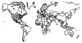
| world in 2d | |
|---|---|
 |
|


|
|
| Coordinates of cities | |
|---|---|
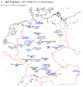 |
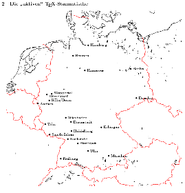 |


|
|
| Ireland | |
|---|---|
 |
|


|
|
| pst-fractal |
|---|
Using pst-geo together with pst-fractal can cause some errors if you try to set
the optional parameter Radius which is defined in both packages but with a
different syntax. In such a case use always a package depending setting:
\documentclass{article}
\usepackage{pst-fractal,pst-eucl}
\begin{document}

\begin{pspicture}[showgrid](-0.5,-0.5)(3.4,2.3)
  \pstGeonode[PosAngle={90,0}](0.5,0.5){A}(2,1){B}
  \psset[pst-eucl]{Radius=\pstDistAB{A}{B}}% only valid for pst-eucl
  \pstCircleOA[DistCoef=0.5,]{B}{}
  \ncline{A}{B}
\end{pspicture}

\end{document}
|